
A place to get
beautifully lost.
Chapter one: Morocco. Choose a point and follow the story beneath it.
Simplified Natural Earth outlines. Markers are representative locations, not mine-access directions. This is a locality atlas, not a geological survey map.
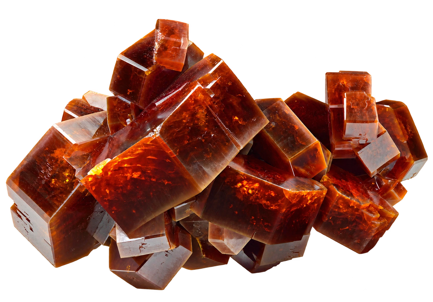 Field record / 01
Mibladen
Northeast of Midelt, Mibladen is a district of many workings, not a single mine. Its vanadinite crystals are a familiar starting point for Moroccan mineral collections.
Reference specimen photograph. Not shop inventory. Photo: Ivar Leidus · CC BY-SA 4.0 · Background removed with AI assistance.
 Field record / 01
Mibladen
Northeast of Midelt, Mibladen is a district of many workings, not a single mine. Its vanadinite crystals are a familiar starting point for Moroccan mineral collections.
Reference specimen photograph. Not shop inventory. Photo: Ivar Leidus · CC BY-SA 4.0 · Background removed with AI assistance.
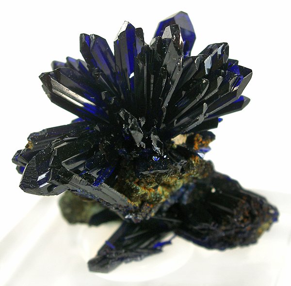 Field record / 02
Touissit
Touissit belongs to the Touissit–Bou Beker mining district in northeastern Morocco. Azurite is among its documented specimen minerals.
Reference specimen photograph. Not shop inventory. Photo: Rob Lavinsky / iRocks.com · CC BY-SA 3.0

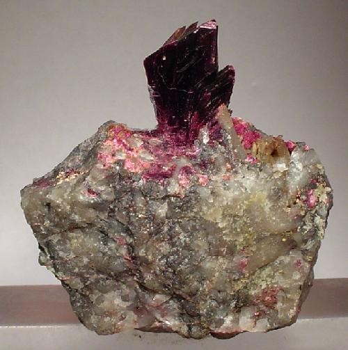 Field record / 03
Bou Azzer
The Bou Azzer district is associated with cobalt mineralization. Erythrite is one of the striking secondary minerals recorded from its mines.
Reference specimen photograph. Not shop inventory. Photo: Rob Lavinsky / iRocks.com · CC BY-SA 3.0

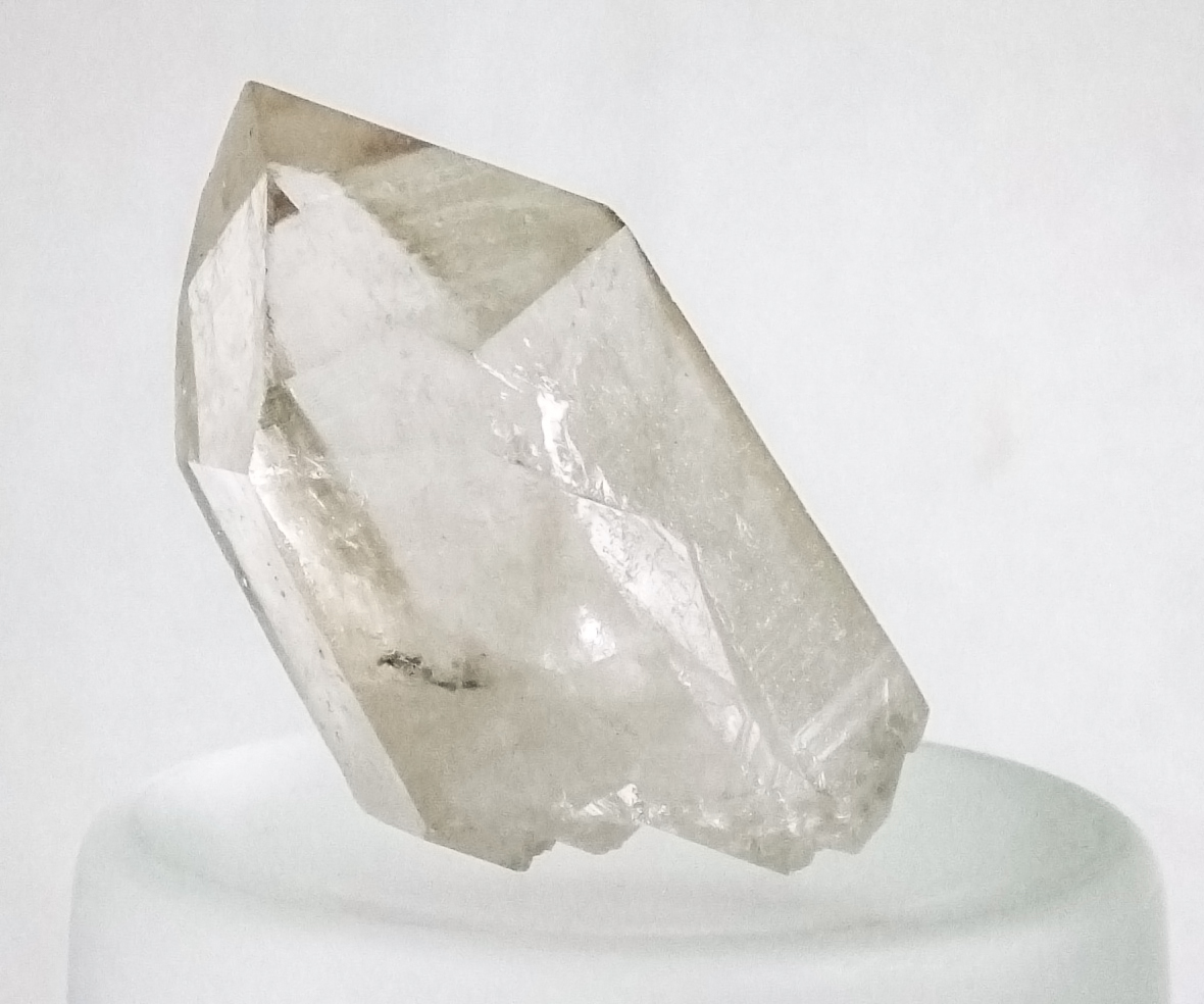 Field record / 04
Sidi Rahal
Near Sidi Rahal, quartz-bearing geodes occur in basaltic rock. Documented forms include amethyst and chalcedony.
Reference quartz photograph; not from Sidi Rahal. Photo: W.carter · CC BY-SA 4.0

Moroccan national-map presentation includes the Sahara region. Hatching identifies Western Sahara, whose status remains disputed and which the UN lists as a Non-Self-Governing Territory. This presentation does not imply internationally agreed sovereignty. UN reference.
How to read this atlas
The first four entries are a curated introduction, not a complete inventory of Moroccan minerals or deposits. Empty areas mean no entry has been published here yet. The Sahara region is included in the project’s Moroccan national-map presentation; hatching and the map note preserve the territorial distinction. Lines of control are not drawn.
Geography · Natural Earth, 1:50m, public domain ↗Coordinates are representative points derived from the linked locality records. Each place page explains what its marker represents. Country, locality and species records are stored separately so future chapters can extend this atlas.